Yeah, in Japan it’s the golden week and that means I have some time off and only had to work 2 days. To remove the (possible) question mark above your heads, I will first explain what the golden week is.
The golden week is a cluster of holidays at the end of April/beginning of May. During this time bridge days are very good opportunities for employees and some companies may even close completely. It is also important that at this time of year it is already pleasantly warm, but not too hot or humid (apart from in the morning, as sometimes). The holidays are: 29 April: Shōwa no Hi, 3 May Kempō Kinen-bi (“Constitution Day”), 4 May: Midori no Hi (“Green Day”) and 5 May: Kodomo no Hi (“Children’s Day”). As far as I know, all holidays have something to do with the Showa Tenno (“Emperor”). Interestingly it is usual here in Japan that if a holiday falls on Sunday, the following Monday is also free;)
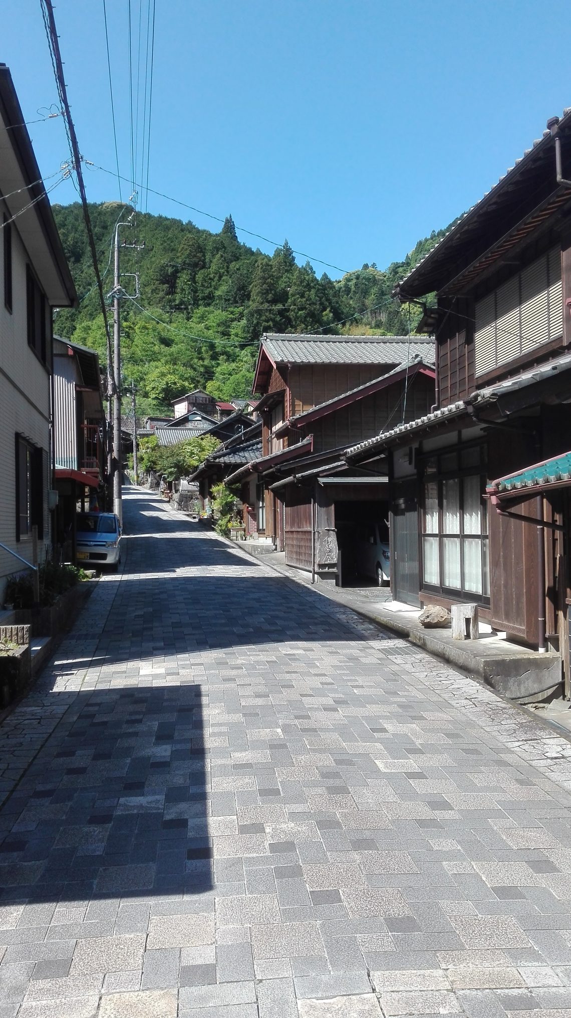
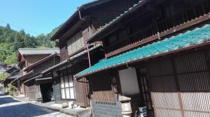
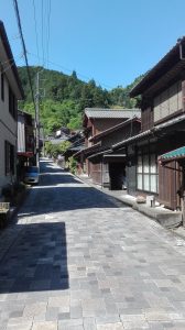
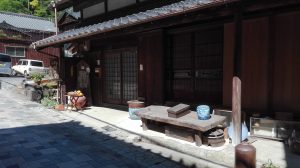
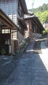
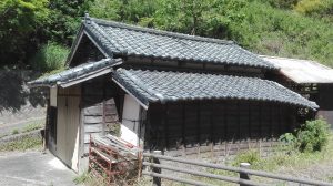
So I used today to get up early and do some sightseeing and hiking/trekking. People who should actually read this blog might remember that I was once on Mount Manganho. There I came across the information that this is only part of a larger route or only part of the possible secondary routes. Also, there is a village nearby, which is still in the style of the old Tōkaidō. The Tōkaidō was an important postal and trade route, which was overhauled in the Edo period and then connected Kyoto (capital, seat of the emperor) with Edo (seat of the shogun, actual seat of power). I wanted to have a look at that, too, as the access to this trekking route is also in the immediate vicinity.
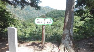
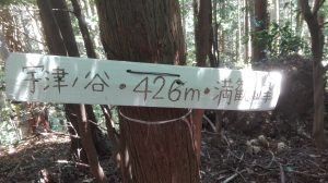
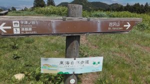
The route is the Tōkai Nature Trail, which connects Osaka with Tokyō and has a total length of about 1697 km. However, together with all secondary routes, without them it the main route probably about 1050 km. And also in the vicinity of the city Shizuoka are some side routes, so also this one. The problem is that it is/was difficult to get any useful information about this route, especially as this is only a secondary route. I actually just went according to the tourist information I had seen on the mountain. But the whole trek appeals to me, but for that I need a lot more time and information……
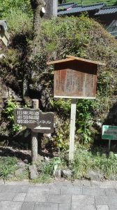
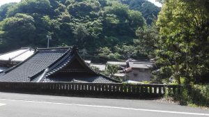
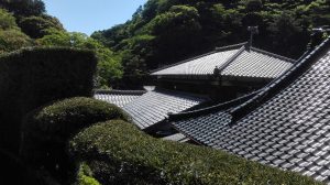
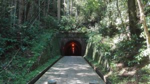
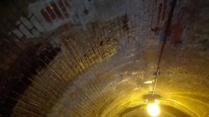
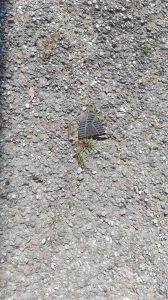
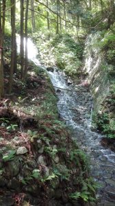
Morning then with the bus to the village, which is a very nice landscape. The few facilities for tourists (?) opened (like so much in Japan) however, not before 10.00 o’clock. I didn’t want to wait an hour because I didn’t know how long it would take me to complete the course. Parts of Tōkaidō are also passable, but I didn’t know how far the path goes (I might explore again) and then went through the tunnel from the (later) Meiji era. There also dripped water from the walls. After that I saw that I could have walked the Tōkaidō path at least partially, as I had to follow it for at least a while to get to my starting point. So I saved myself a mountain and went through it instead of over it. I had hoped for access to the route via a reconstituted trail from the Meiji era. On the way I found the remains of a shoe sole, someone must have had a hard walk^^
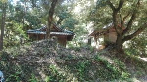
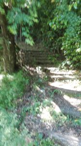
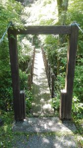
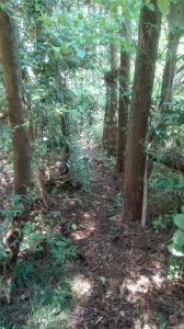
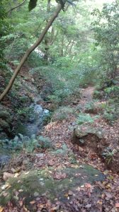
However, access has only partially worked. I got close to the mountain, but then I lost the trail and thought I was going wrong to get to the other trail. To be on the safe side, I turned around and halfway back to take another route. Unfortunately I noticed later that I was probably right and only had to go further through the undergrowth. The path had actually made such a swerve and another path came at least roughly from the direction of my original position. So I additionally travelled some kilometers and altitude meters.
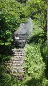
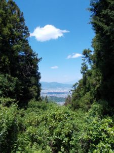
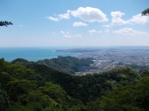
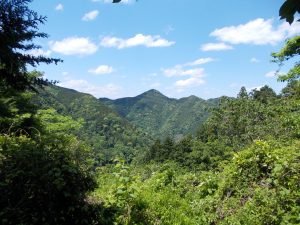
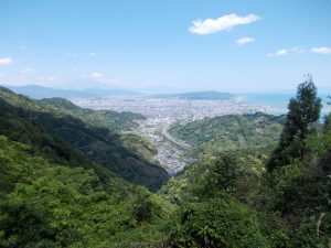
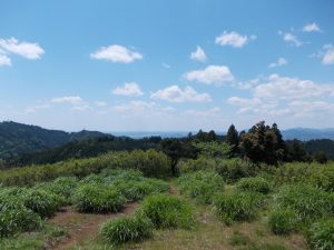
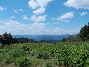
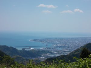
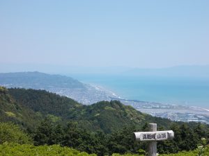
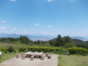
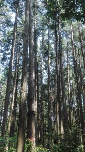
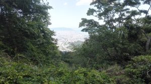
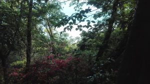
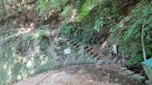
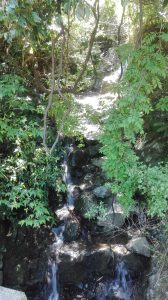
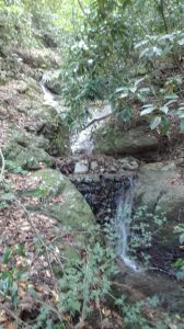
The end of the trail was an inconspicuous staircase leading to a serpentine road that was somehow hidden behind mountains and trees….. From there I walked a few kilometers to a train station and took the train back. So today, I was much faster than I thought. I know, however, at least for one section, that I only needed half the time that the information sign estimated. Instead of 90 minutes, I could do it in about 45 minutes. And I already stopped, looked around and took pictures.


















No Comments