This time I wanted to climb the mountains south of the city of Shizuoka or stretch there. That proved not so easy because of several reasons. Unfortunately, I initially misread the map and thought it was outdated, because I hadn’t found the access to the trekking route and I assumed I had already gone too far. In addition, the section was also a little dangerous, narrow double-lane street with no space for pedestrians or cyclists (but other pedestrians or cyclists were there too, reminded me of Sicily).
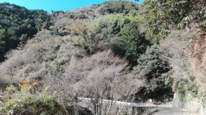
So I tried another corner and then pushed my bike up this serpentine, driving was impossible on these gradients. But I still had nice views.
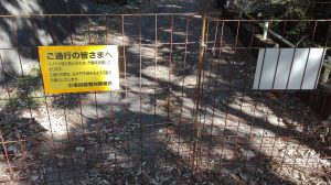
Until I came to this improvised gate. From the translation I have figured out that you have toclose the gate again, so that no wild boars can pass. But I did not know if I was allowed to enter the area at all and I preferred to leave it and I return the way back.
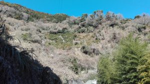
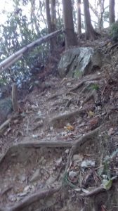
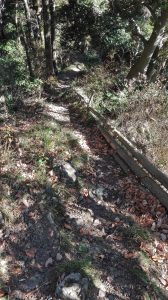
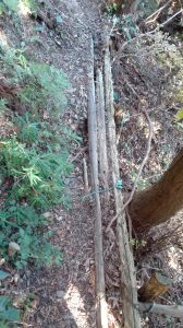
But I did not want to give up that quickly and tried again in another place and I finally got access to the trekking routes. For general information, I’m went always up and down mountains and the highest elevation before the main peak was 450 m high. In addition, this route has been partially dangerous. These are not beautiful hiking trails or wide routes like ours. In Germany, one would have probably freaked out due to security concerns and would have blockedat least half of my chosen route. Sometimes I had only 10-15 cm space (or less), in addition to landslides, the paths were sometimes stabilized only with improvised branch walls or there were very steep ascents / descents with a rope. The paths were minimally maintained and nature had sovereignty. It was very funny. But if it had rained the day or the night before, it would have been too dangerous and some sections impassable. However, I also met some old people on the track. Although not all of them had exactly my route, but utmost respect for them. Incidentally, I knew only from one of these older gentlemen that I can come so theoretically to the summit. Because I just followed my nose and therefore, I did know nothing, my GPS map is unfortunately rather inaccurate and is only suitable for tracking and finding the way back. So I’m still followed my nose and had sometimes to look if I’m still going in the right direction, because sparse Japanese information was meaningless for me. Oh, routes were sometimes or often marked with ribbons. However, the nature was beutyful.
In between, sometimes a tea plantation in the middle of nowhere.
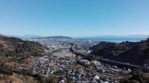
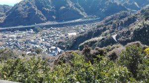
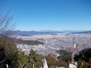
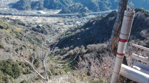
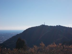
From here you can see the serpentines, from which I would probably have come down again, if on the other side of the mountain would not have been the gate because of the wild boars.
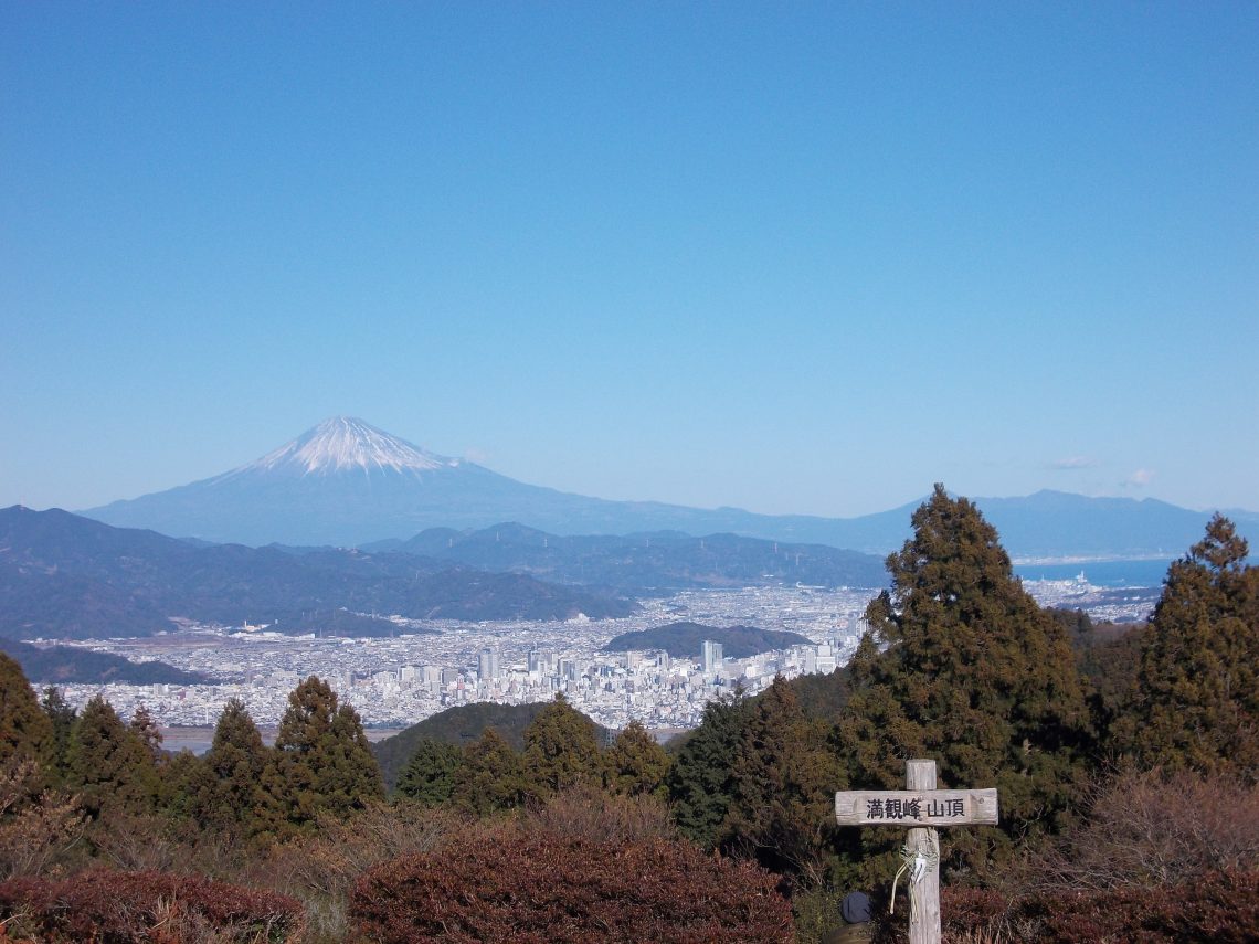
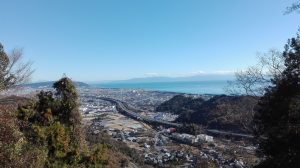
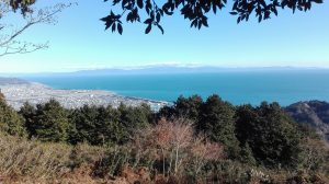
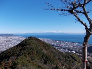
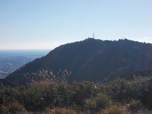
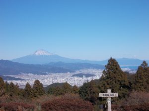
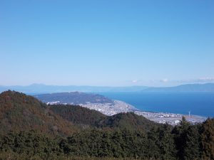
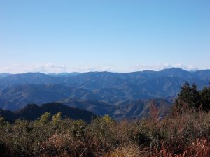
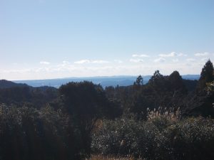
And then I reached the summit of the Manganho at an altitude of 470 m at about 14.15. From the panoramic view you could also see very well that the Japanese are living mainly in the valleys and the mountains are mostly completely left natural. This also meant that I saw only totally green mountains up to the horizon (according to the map, however, there are (smaller) settlements in some valleys). So much natural surface I’ve never seen in Germany and the Japanese have a space problem, not us. Apart from the narrow cities, I find this much more beautiful. Up here I also could learn that there are several routes here and that the summit serves as a hub. That’s very good to know for a next time. For today I have left here, because I did not know how long I need to the next point and the sun had already exceeded its highest point. The latter is important if you wanted to see enough on the track. Especially when the sun is already behind a mountain (on a descent), it is already relatively dark through the trees. It did not matter for me, but an hour later it might have been uncomfortable. I would have had this, if I had just gone 30 minutes further in any other direction. As I had unfortunately found this access late, I was relatively late on the summit. Incidentally, I’m glad that I did that in the winter, because although it was only about 10-15 ° C, it was quite warm because of the exertion.










No Comments